

INTELLIGENCE FROM ABOVE EFFICIENCY ON THE GROUND
Our Specialized Drone Services
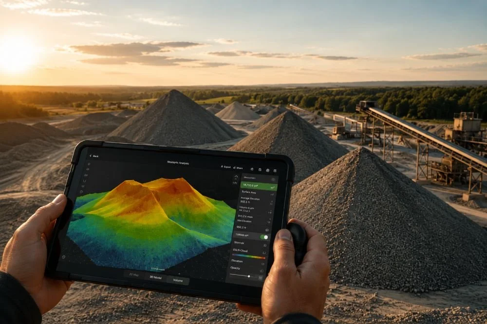
Stockpile
Reporting
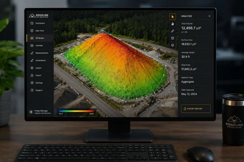
.Using drones will save you time and take the guess work out of measuring material stockpiles. We generate detailed 3D models with precise elevation data to calculate material volumes. Stop relying on rough estimates and get the reliable data you need to plan and make decisions with confidence.
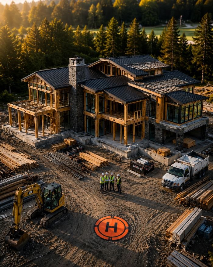
Construction Mapping
Streamline your project management with drone-powered site mapping. Instead of relying on ground-level updates, routine aerial imaging gives you a complete, high-resolution overview of your entire job site. Easily monitor contractor progress, verify earthwork, improve safety compliance, and catch costly mistakes before they happen.
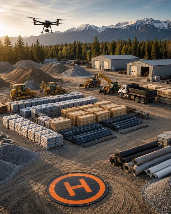
Inventory Management
Transform your asset tracking with routine stock yard mapping and site imaging. We provide monthly aerial overviews, giving your team the data-driven insights to help manage current inventory and forecast future site development. Stop guessing and know exactly what you have on the ground.
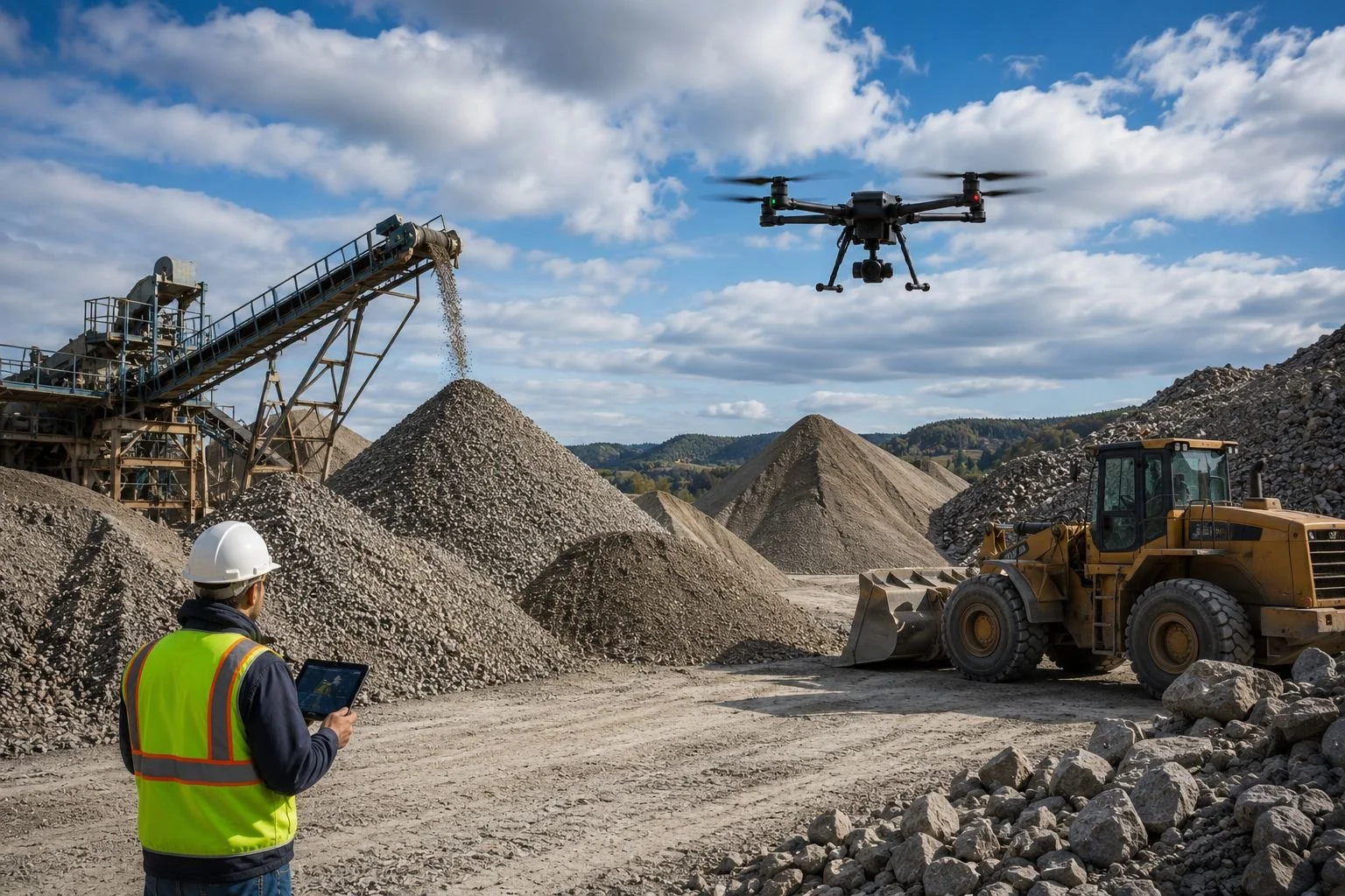

DESIGNED FOR TIMBER YARDS AND FORESTRY OPERATIONS THAT REQUIRE ACCURATE INVENTORY TRACKING AND VOLUME REPORTING.
Log Yard Inventory and Material Volume Reporting
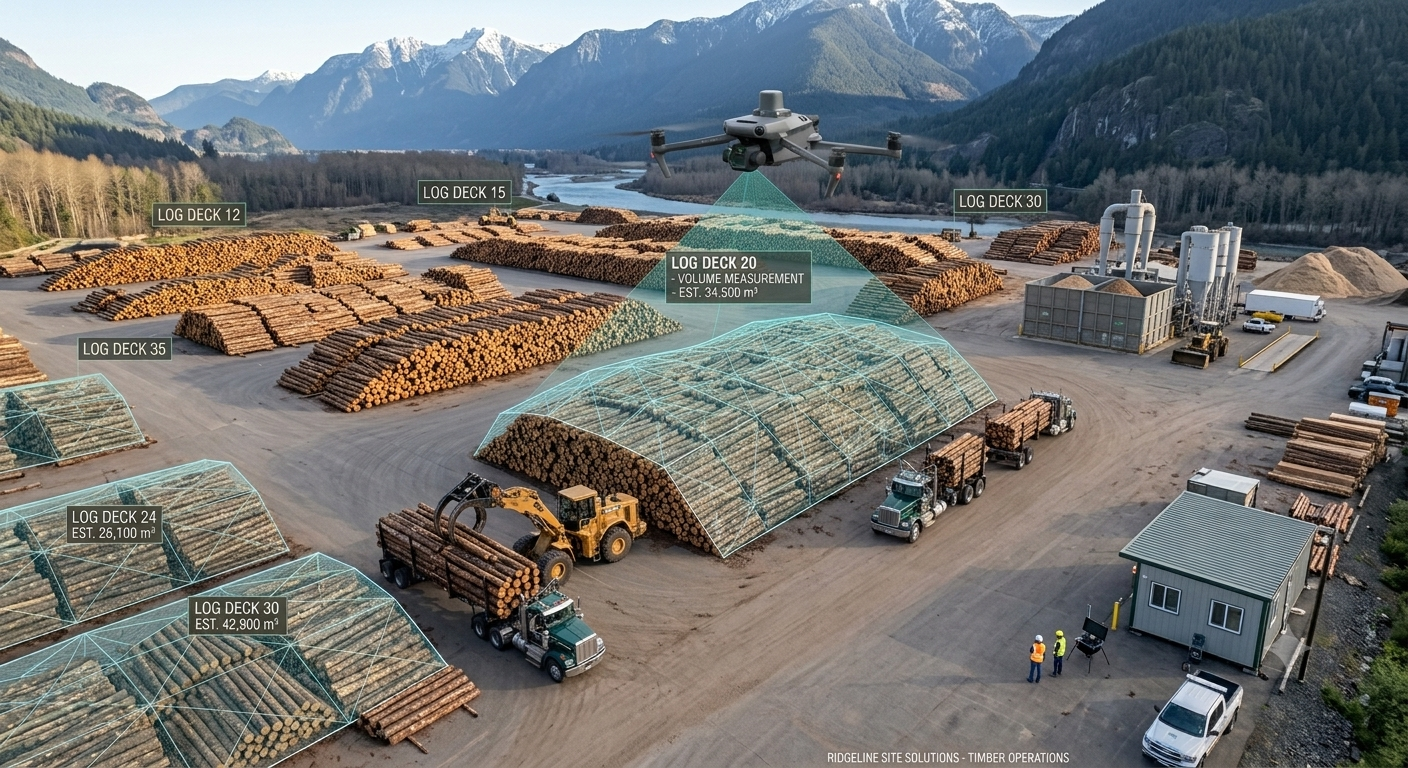

Log Deck Measurements
Track timber inventory with high-accuracy aerial mapping, automated measurements, and accurate volume reporting for faster operational decisions.
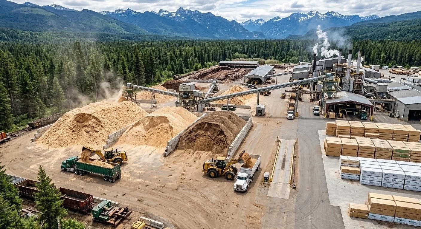

By Product Volumes
Sawdust, chips, and shavings piles can be measured quickly and easily with a drone. Assign material values and better understand your current inventory
A Simple Process. Powerful Results.
OUR WORK FLOW


Consult & Plan
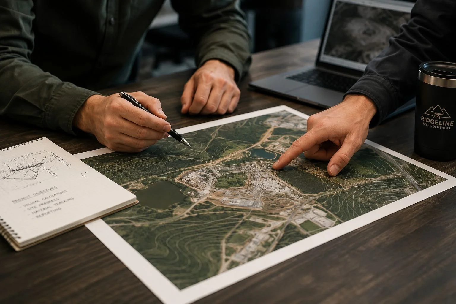
We learn about your project, objectives, and timeline to create a custom flight plan.


Data Capture
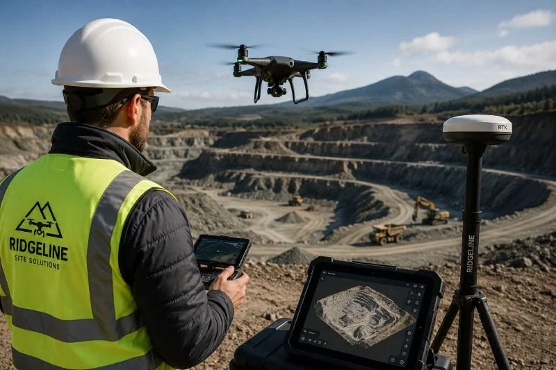
Our FAA-certified pilots capture high-resolution aerial data using advanced drone technology.


Analysis
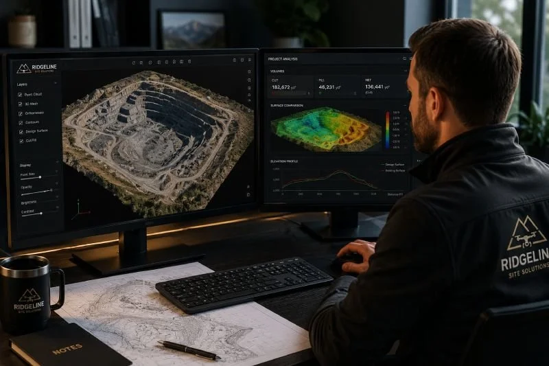
We process the data using industry-leading software to generate accurate maps, models, and measurements.

Deliver Insights
Receive easy-to-understand reports, maps, and images that help you make smarter decisions.


READY TO REDUCE RISK AND SAVE ON YOUR NEXT PROJECT?
Let’s talk about how aerial intelligence can help you build smarter