

Providing a new perspective for your job site
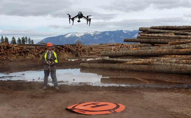
Ridgeline Site Solutions provides commercial drone data for construction, earthwork, and timber contractors throughout the Flathead Valley and surrounding area. We deliver high-resolution site maps and volume reports to help with job progression and inventory management. Locally owned and operated in Whitefish, Montana, we are focused on giving clients the site visibility they need to keep projects moving forward.
Frequently Asked Questions
-
We deliver clean, professional data that integrates seamlessly into your existing workflows. For management and accounting, we provide easy-to-read PDF reporting summaries and CSV/.XLSX material logs. For engineering and project management teams, we can export high-resolution orthomosaic imagery and 3D files (such as .GeoTIFF, .LAS, or .OBJ) compatible with standard CAD and estimating software.
-
Drone service costs vary based on the project’s size and required deliverables. Please reach out so we can learn more about your project and provide you with a quote.
-
Drones can quickly gather high resolution images paired with accurate elevation data. This allows us to provide reliable stockpile volume reports allowing companies to better understand their existing inventory and project planning needs.
-
We achieve high-precision relative accuracy by utilizing advanced commercial UAV technology paired with precise on-the-ground targeting (GCPs/RTK workflows). This allows us to map material surface topography down to the inch, delivering reliable cubic yardage and volumetric calculations that completely eliminate traditional groundwork estimation.
-
Not at all. Under most circumstances our commercial drones can operate safely high above your site while crews continue working safely down below.
-
Yes, absolutely. Safety and compliance are our top priorities. Ridgeline Site Solutions is fully licensed by the FAA under Part 107 for commercial drone operations, and we carry comprehensive aviation liability insurance tailored for drone use.
-
Yes, our high resolution drone equipment can also be used for; Inspections on homes, cell towers, and other infrastructure.